
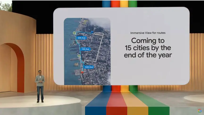
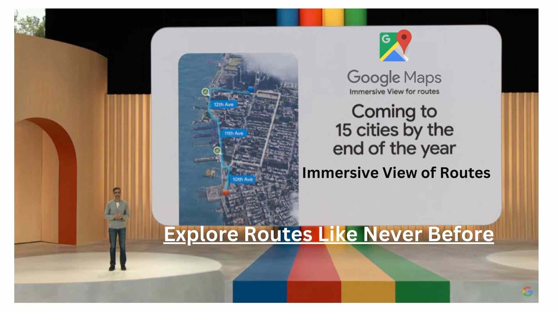
Google said recently at its annual I/O conference that it will roll out a new “Immersive View for Routes” feature in a few locations. The new tool consolidates all the data a user could want in one location, including information on bike lanes, complicated junctions, parking, and more.
In the upcoming months, 15 cities will get started to get Immersive View for Routes, including Amsterdam, Berlin, Dublin, Florence, London, Las Vegas, Los Angeles, Miami, New York, Paris, San Francisco, San Jose, Seattle, Tokyo, and Venice. The feature will be available on both iOS and Android. You may use the feature whether you’re on a bicycle, in a vehicle, or on foot.
The new feature, which expands on Immersive View, was initially shown by Google at I/O last year and is meant to assist you in making travel arrangements and giving you a better knowledge of a place before you go there. A digital representation of the globe is produced by Immersive View using computer vision and AI to combine billions of Street View and aerial photographs. The idea behind Immersive View for Routes is the same—you can examine and comprehend a route before you take it.
You can view all the information you want regarding your journey at once with Immersive View for Routes. You’ll get a three-dimensional experience when you obtain instructions that allow you to see bike lanes, sidewalks, crossroads, and parking along the way.
Based on current and past data that Google has acquired about a certain location, the function allows you to see what the weather may be like on a particular day or what traffic would look like at a certain hour. It has a time slider so you can observe the route’s appearance as the weather changes during the day and information on the air quality.
Sundar Pichai, CEO of Google, stated at the company’s keynote address that “Google Maps provides 20 billion kilometers of directions every day.” “Wow, that’s a lot of journeys. Imagine being able to plan your entire trip in advance. You can now, whether you’re driving, riding, or strolling, thanks to Immersive View for Routes.
Google also revealed the debut of its Aerial View API, which will enable developers to include a pre-packaged aerial video of a location in their applications and websites to provide users with a visual representation of the region. One of Google’s first collaborations was with the real estate business Rent.com, which uses the API to make rental properties and their surroundings more visible to tenants so they may virtually tour neighborhoods.
Google is also releasing a test version of photorealistic 3D games for developers. Developers can now quickly build bespoke, immersive map experiences and visualizations that are exclusive to their business thanks to a new feature within the Google Maps Platform. For instance, a travel agency may create an interactive map tour of famous buildings with markers overlaying them to give restaurant information.
Visit the official site to read more
-
Google Maps Introduces Immersive View for Routes Feature: Explore Routes Like Never Before
Google said recently at its annual I/O conference that it will roll out a new “Immersive View for Routes” feature in a few locations. The new tool consolidates all the data a user could want in one location, including information on bike lanes, complicated junctions, parking, and more. In the upcoming months, 15 cities will…
